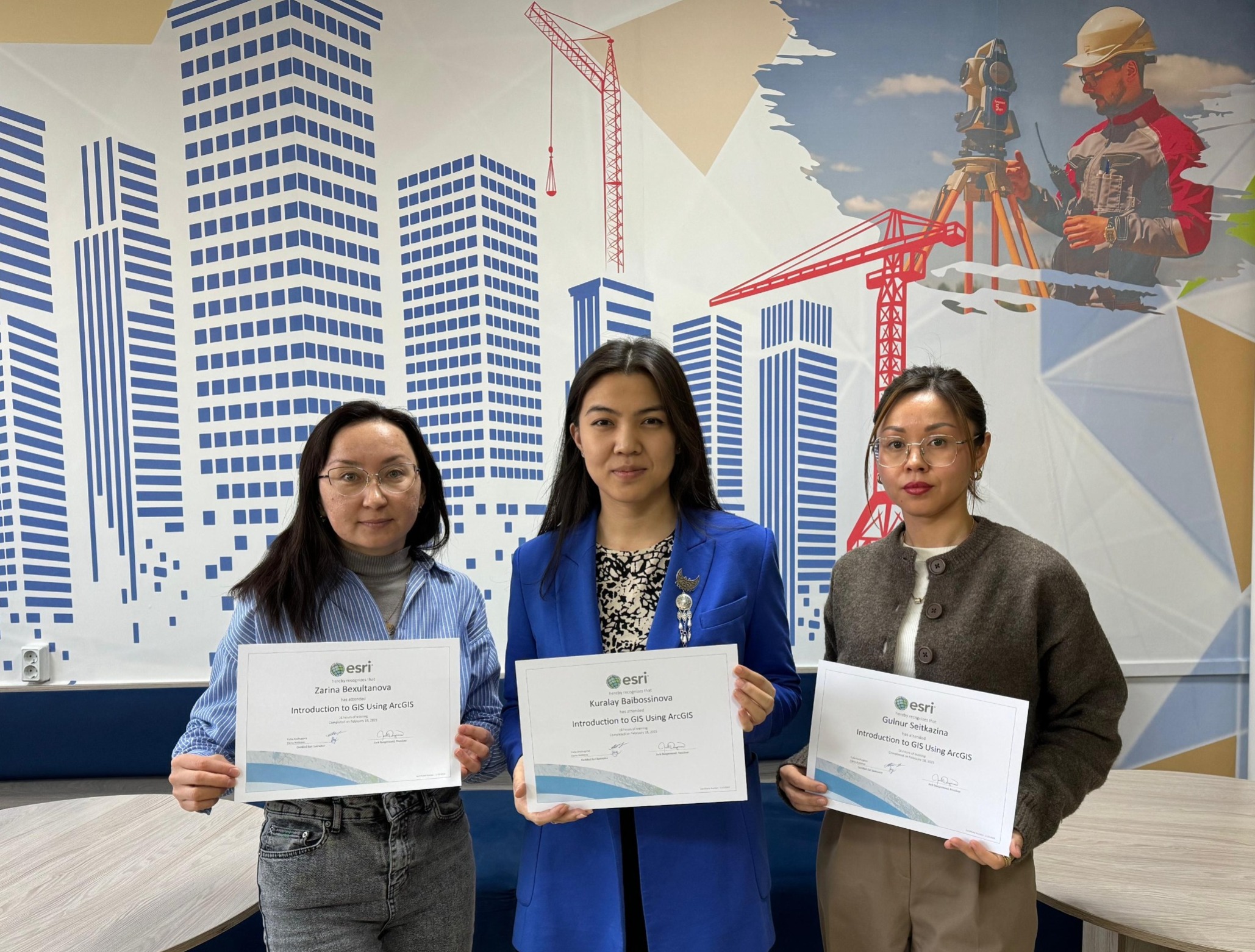
As part of the program "Comprehensive Study of the Natural, Historical, and Cultural Landscape Potential of Lake Alakol and Development of Effective Mechanisms for Recreational Tourism in the Region", senior lecturers of the "Construction and Geodesy" department at the Higher School of Artificial Intelligence and Construction of Shakarim University – Gulnur Seitkazina, Kuralai Baibosinova, and Zarina Beksultanova – successfully completed the "Fundamentals of GIS Work" introductory course organized by the American GIS developer Esri.
During the 16-hour course, participants learned the basics of applying Geographic Information Systems (GIS) for effective spatial data analysis, map creation, and data visualization required for scientific research.
The newly acquired knowledge and skills will enable young scientists to effectively contribute to the comprehensive study of Alakol's natural and cultural landscape potential and the development of mechanisms for enhancing recreational tourism in the region.
Lecturers from the "Construction and Geodesy" department plan to further advance their skills in ArcGIS Pro in March to fully integrate the software into their academic and research activities.